The complete first-time guide to Dinagat Islands
How to get there, how long to stay, what the sea does through the year, and the honest state of accommodation on the islands.
14 August 2026 · 9 minute read
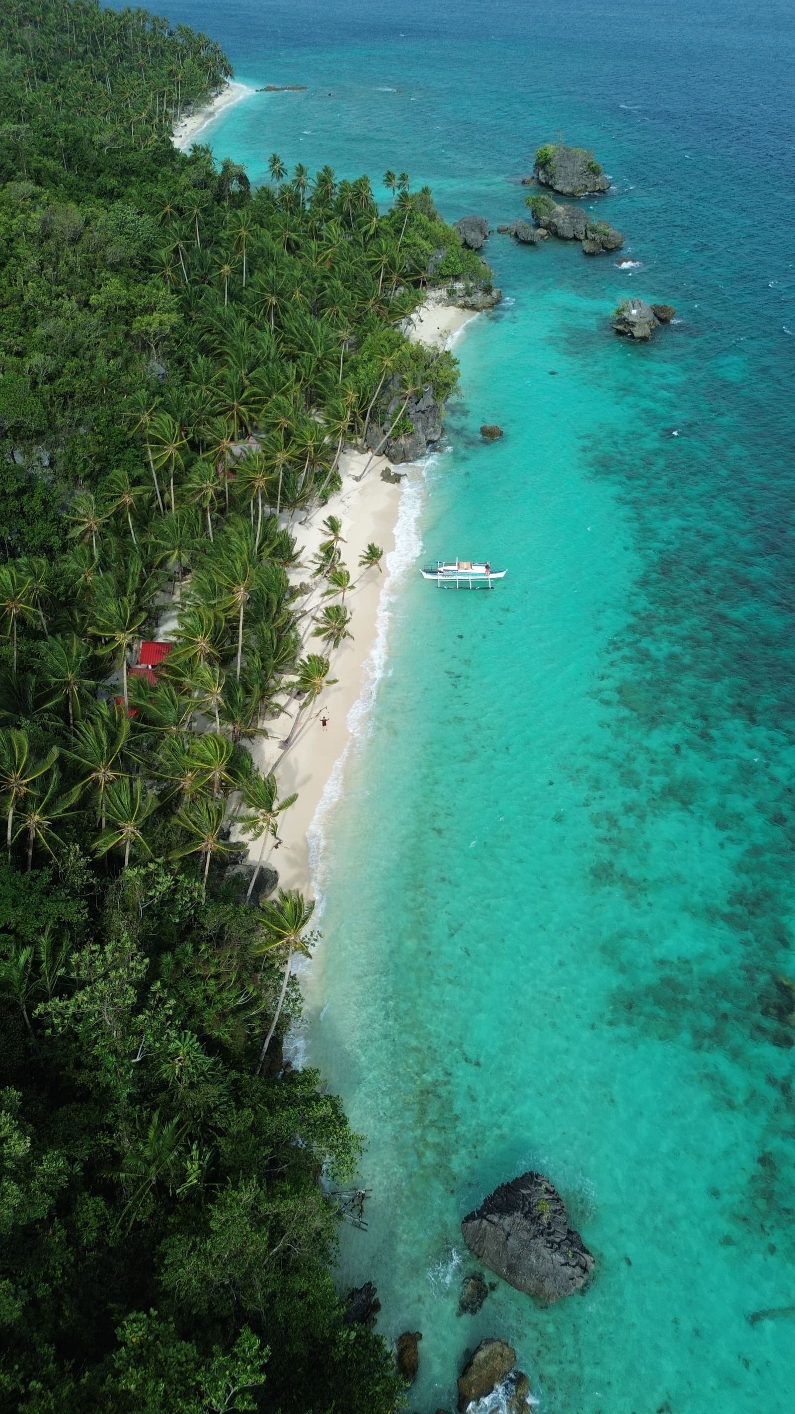
Dinagat Islands is a province of roughly a hundred and twenty thousand people at the northern tip of Mindanao, made up of one long island and a scatter of smaller ones. It has lagoons, limestone formations and white sand of the kind that draws crowds elsewhere in the country, and almost none of the crowds. That is partly geography and partly history: for most of the last fifty years Dinagat has been known for mining and for the religious movement centred on San Jose, not for tourism.
That is changing slowly. There are now nine DOT-accredited tour operators on the island, all of them selling variations of the same two boat routes. What follows is what a first-time visitor actually needs to know.
Getting there
There is no commercial airport on Dinagat. Everyone arrives the same way: fly into Surigao City, then take the passenger ferry from Surigao port to San Jose, the provincial capital. The fastcraft crossing takes about an hour and boats run daily, though every sailing depends on Coast Guard clearance, so a rough morning can move your plans.
From San Jose, the road north to Basilisa takes under an hour, and the island-hopping jump-offs are close to both. If you are coming from Siargao, you already fly through Surigao, which makes adding two or three days on Dinagat considerably easier than it looks on a map.
How long to stay
Three days is the honest minimum. You need one day on the water, one day inland, and a buffer day, because the sea does not always cooperate.
A two-day trip that loses its boat day to weather is a wasted trip. A three-day trip that loses one is still a good one.
The sea, month by month
Dinagat sits on the Pacific side of Mindanao, which means its weather does not follow the dry-season pattern most Philippine travel advice assumes. The roughest water comes with the northeast monsoon, broadly November to January. March through October is the more settled stretch, and August — often written off elsewhere in the country as rainy season — is generally a good month here.
Whatever the month, sailing on any given day is decided by the Coast Guard, not by the forecast on your phone. Build in a day.
The two boat routes
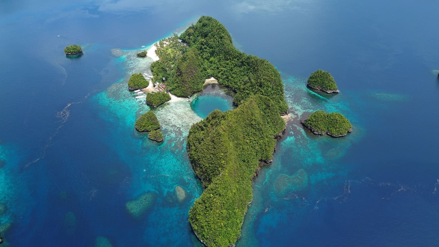
Island hopping on Dinagat splits into a northern group around Libjo and a southern group around Basilisa.
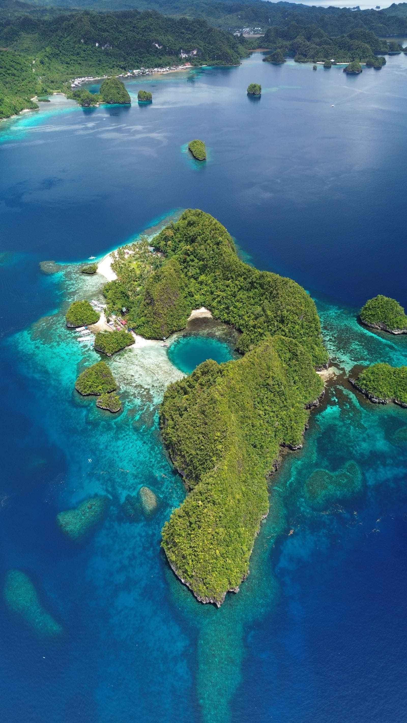
- Libjo is the more dramatic: the tidal pool known locally as the Blue Lagoon, the Hagakhak rock formations, Miracle Pool Cave, and the islet resorts.
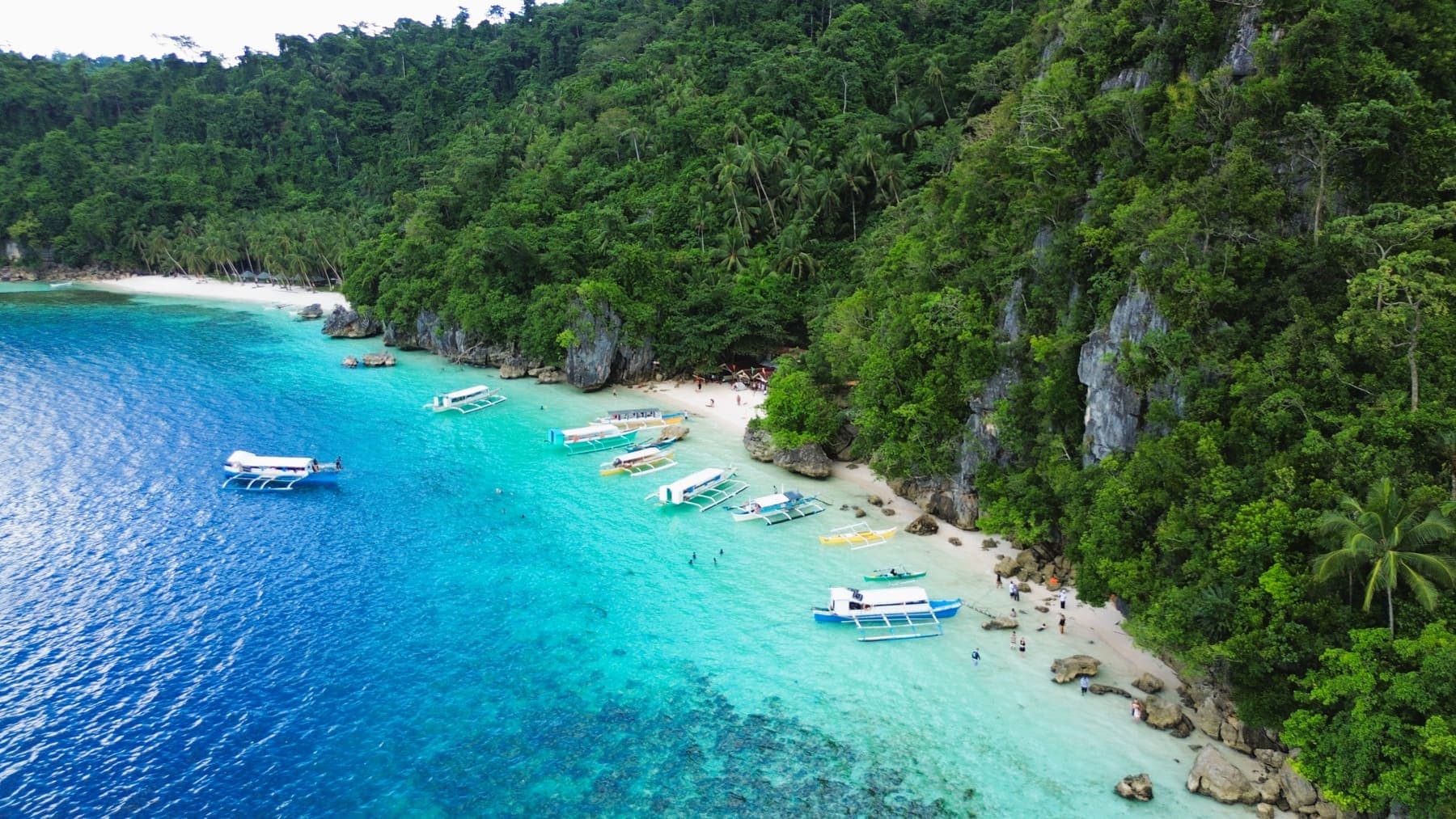
- Basilisa is gentler and has shorter crossings: Cabacungan Cove, Bitaog Beach, Pagkawasan Garden Beach.
If you are only doing one sea day and the weather is uncertain, take the Basilisa route. If you are doing both, book them as a package rather than separately — the boat operators' association prices a two-day combination well below two single days.
What almost nobody sells
Every published Dinagat itinerary ends in the middle of the afternoon and none of them go inland. That leaves two things wide open.
The first is the heritage circuit: the PBMA Divine Master Shrine above San Jose, the Island Castle on its hilltop, the Provincial Capitol built in the shape of a ship, and the viewing decks on the Basilisa side. It is about a hundred kilometres round trip and it runs in weather that keeps the boats in port.
The second is the evening. The mountain above Basilisa looks west over the whole archipelago, and sunset from up there is the single best hour on the island.
Where to stay, honestly
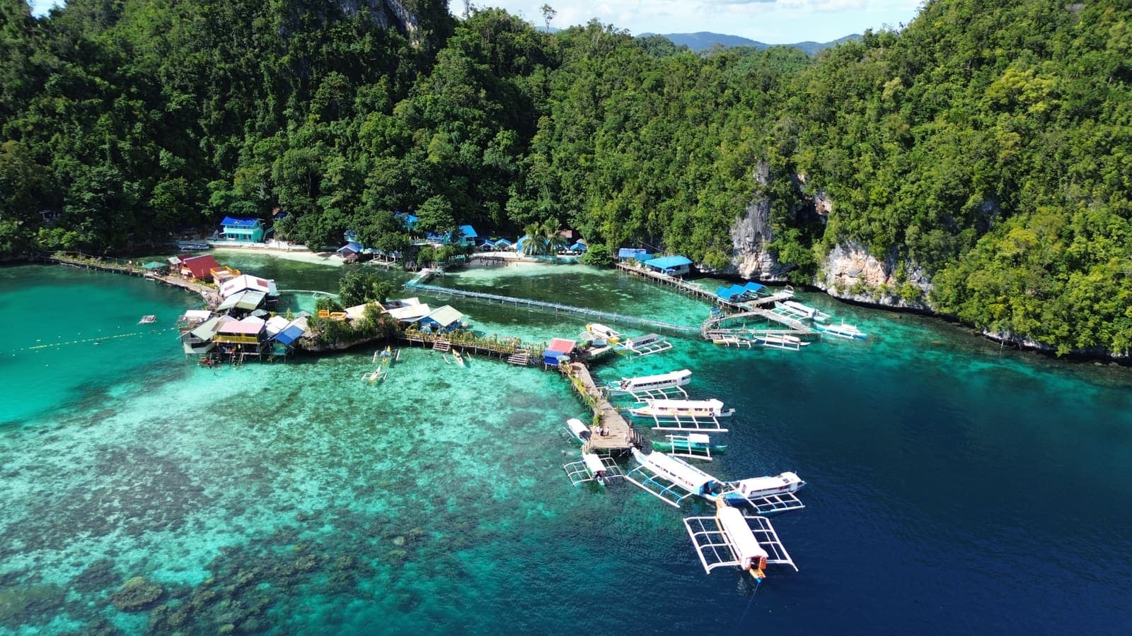
This is where visitors are most often caught out. The island stops — Jelmars, Duyos and the rest — do take overnight guests, and the huts are genuinely basic: no air conditioning, limited power, cold water. People who picture an overwater bungalow are picturing the wrong thing.
The practical answer is a room in San Jose near the seafront, twenty minutes from the jump-off, and day trips out from there. Vine's Bed and Breakfast is the closest accredited option.
Bababu Lake
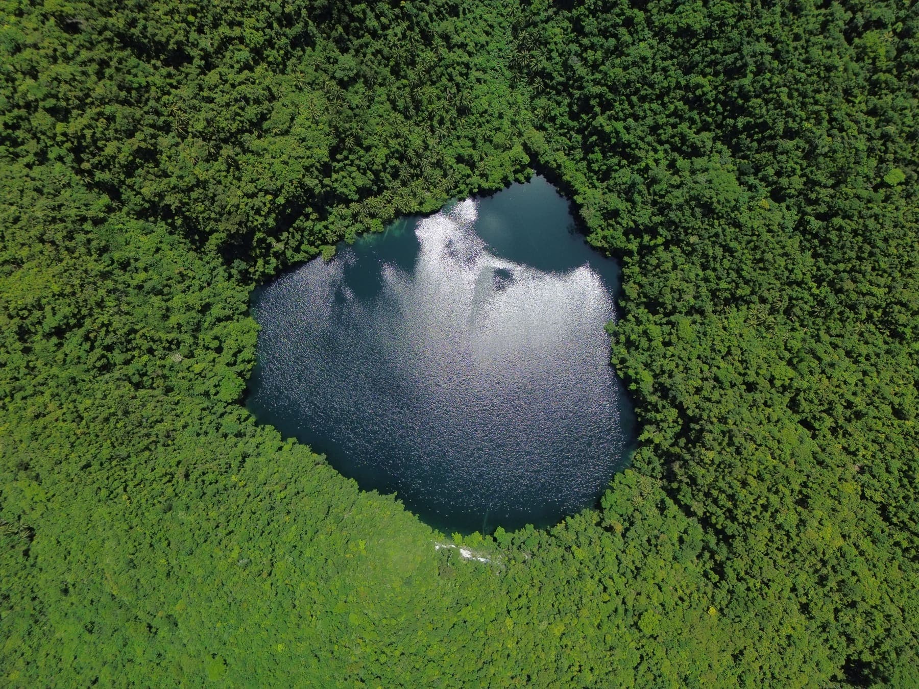
If you do one thing beyond the standard circuit, make it Bababu. A boat drops you at a beach on the eastern coast, and a rough forty-five minute trail through forest brings you to a deep freshwater lake with no road to it at all. The walk is real — roots, rock, a short scramble — and it is the reason to bring proper shoes to an island where everyone else is in sandals.
What to bring
Cash, first of all. Card acceptance is limited outside San Jose and GCash coverage depends on signal. Then: closed shoes for the trails, water shoes for the reef, far more sun protection than you think, and a dry bag. Shade on the islands is scarce and the boats are open.